Drones Join the Human Effort to Protect the Belize Barrier Reef!

If they only used their powers for good…
We’ve heard the expression before, but a real-life example is currently underway in Belize, where drones are actually being put to good use.

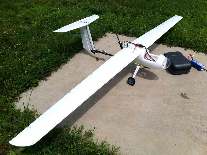
A recent NY Times article shows how Australian environmental technology is being used to monitor destructive, illegal fishing activity along the Belize Barrier Reef, and, with other Green applications planned for the future, giving the non-military use of drones a good name.
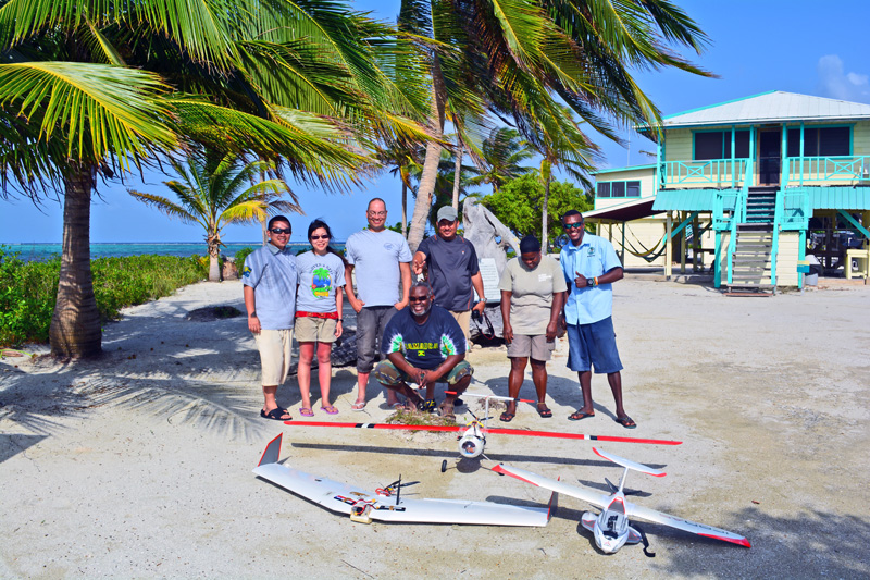
Belize Fisheries Department personnel are now being trained up to operate small but highly effective drones to patrol Belizean waters in a bid to combat illegal fishing, just as this year’s lobster season begins.
It seems only fitting that Australia, with the world’s largest Great Barrier Reef, has developed drone technology that is coming to the aid of Belize, home to the world’s second largest barrier reef.
According to the NY Times feature, the Wildlife Conservation Society (WCS) began training Belize Fisheries Department staff last June in the operation of two drones to help track illegal fishing activities. We know from experience that while the vast majority of Belizean fishermen understand the need for sustainable fishing practices and adhere to regulations, some unscrupulous operators, especially from neighboring countries, do not, fishing out of season, taking undersized “bugs” or offering local fishermen hugely inflated prices to sell illegal catches.
Belize has been fighting this scourge for years, but it does take time and money to adequately patrol the country’s stunning 300 km (190 mile) long barrier reef and the many nearby cayes.
Enter the drones

Thanks to the WCS and ConservationDrones.org, an Australian NGO that has built about 100 of the airborne reconnaissance and recording devices for use in conservation activities around the world, Belize will soon have two drones in the air, with more expected in the future, according to Julio R. Maaz, the WCS community fisheries coordinator in Belize.
Dr Maaz explained that the drones would be used to monitor different areas on a daily basis over the next six months, after which the Fisheries Department will access the results.
“Expectations are very high in Belize,” he said, “There’s so much we can do and need to do.”
We agree. As demand for the delicious crustaceans continues to rise both in Belize and overseas, the threat of overfishing looms. And with the size of the reef and lobster populations fairly static, the threat of extinction cannot be discounted if sustainable practices are not strictly adhered to, as they are in Belize.
The NY Times piece recognizes and praised Belize’s environmental efforts.
As the article points out, “Belize has made a great effort to protect its coral reef system — the largest in the Western Hemisphere — by establishing more than a dozen protected areas. But patrolling large stretches of ocean and coastline and enforcing fishing regulations takes time, people and boats.”
Don’t we know it? While initiatives by the Belize Natural History Centre and various organisations and school programs have gone a long way in educating people about the need for conservation, enforcement of environmental protection laws is unfortunately still necessary, and the drones promise a cost effective and efficient way to do this.
Lian Pin Koh, a founder of Conservation Drones, said the group has built about 100 drones for use in a dozen or so countries, allowing them to detect habitat damage over wide areas, spot illegal activity and help count populations of animals in remote areas – all of which have applications in Belize.

Drones have been instrumental in monitoring seabird populations off Australia and rain forests in Indonesia, in studying caribou and their effects on Greenland’s environment, habitat loss on orangutans in Sumatra, combating poaching in Nepal and in conservation activities in countries such as Madagascar and Gabon.
Belize, with huge tracts of protected wilderness, a stunning wildlife and bird population, and vast areas of unexplored jungle, seems particularly suited for drone technology. As we reported earlier, drones have been used to help map out ancient Maya cities using light detection and ranging technology, or LiDAR (stay tuned for an update on that fascinating story).
All in all, we’re happy to see those much-maligned drones being used for peaceful, constructive purposes, and hope to hear more about it in the future.