A Belize Zoo Jabiru Rescue – With assistance from other wildlife friends!
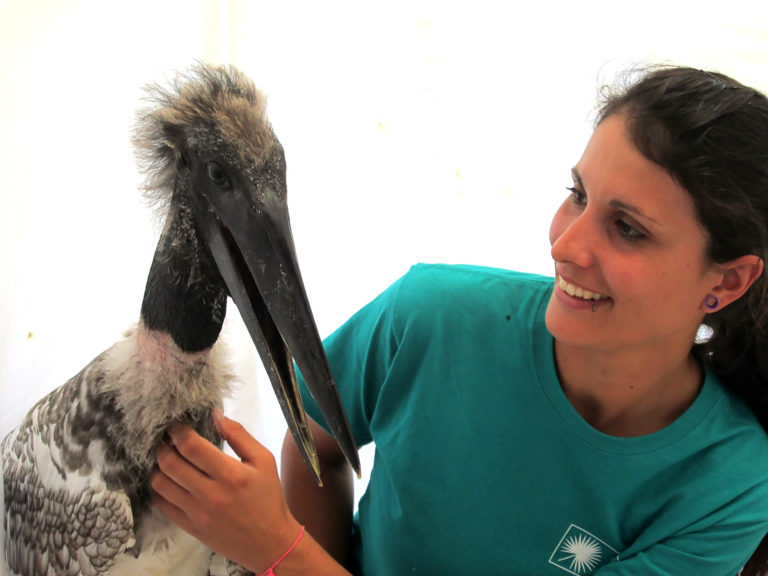
A recent story from the Belize Zoo was so heart-warming that we thought we take the unprecedented step of posting it here in its entirety. More and more, Belize is being known as an eco-paradise, due to the vibrant eco-tourism industry, environmental education in our schools and the efforts of individuals, groups and businesses in caring for and protecting our land, water and wildlife. We’ve posted stories about crocodile and manatee rescues in the past, and here’s a lovely one about concerned individuals, a local business, a government department, wildlife rescuers and the Belize Zoo all working together to save one of Belize’s iconic birds. We think such efforts should be acknowledged, so why not share this one if you like it?